
On This Day: 1953 East Coast Flood
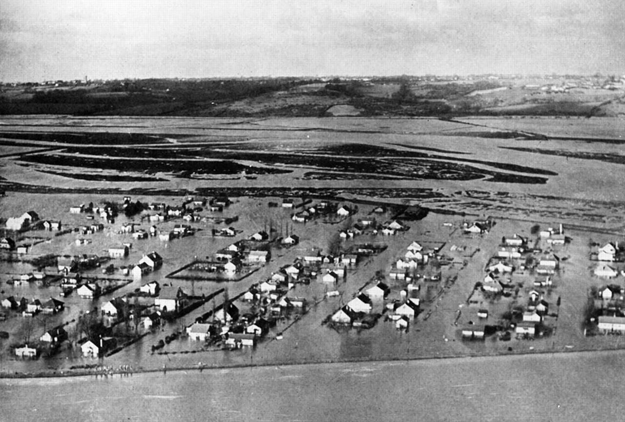
Image: 160,000 acres of land, up to 2 miles inland, was flooded and unusable for several years afterwards (Source: The Royal Society)
On night of 31st January 1953 Britain suffered one of its greatest peacetime disasters: a fatal combination of extreme weather conditions, high spring tides and an inability to warn people meant that huge numbers of people were unaware of an imminent storm surge that was about to inundate low lying areas of East Anglia and the Thames Estuary, as well as parts of Scotland, the Netherlands and Belgium.
According to the Met Office, a deep Atlantic depression passed to the north of Scotland and moved southeast down the North Sea. The northerly gales on the western side of this depression forced sea water south at the time of high tide, causing a tidal surge down the North Sea which locally exceeded 5.6 metres above mean sea level. The winds also generated very large waves in the North Sea that damaged coastal defences. A maximum gust of 126 mph was observed at Costa Hill, Orkney as the storm centre pressure fell to 964mb over the northern North Sea.
The combination of high tides, storm surge, gale force winds and huge waves resulted in some sea defences being overwhelmed. Approximately 160,000 acres of land, up to 2 miles inland, was flooded and unusable for several years afterwards. Sadly, 307 people lost their lives in England, 19 in Scotland, and 1800 in the Netherlands, whilst more than 177 were lost at sea. Around 32,000 people were evacuated and 24,000 homes were flooded across Lincolnshire, Norfolk, Suffolk, Essex and Kent. Some residence even spend the night on their rooftops waiting to be rescued.
Power stations, gasworks, roads, railways, sewage services and water services were put out of action with damage running to £50 million at 1953 prices - approximately £1.2 billion at today's prices.


