Linking weather patterns to regional extreme precipitation for highlighting potential flood events in medium‐ to long‐range forecasts
Title: Linking weather patterns to regional extreme precipitation for highlighting potential flood events in medium‐ to long‐range forecasts
Authors: Doug Richardson, Robert Neal, Rutger Dankers, Ken Mylne, Robert Cowling, Holly Clements, Jonathan Millard
Journal: Meteorological Applications
URL: https://doi.org/10.1002/met.1931
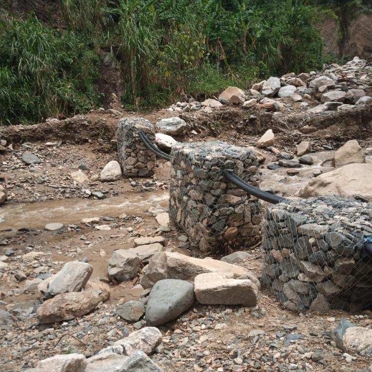
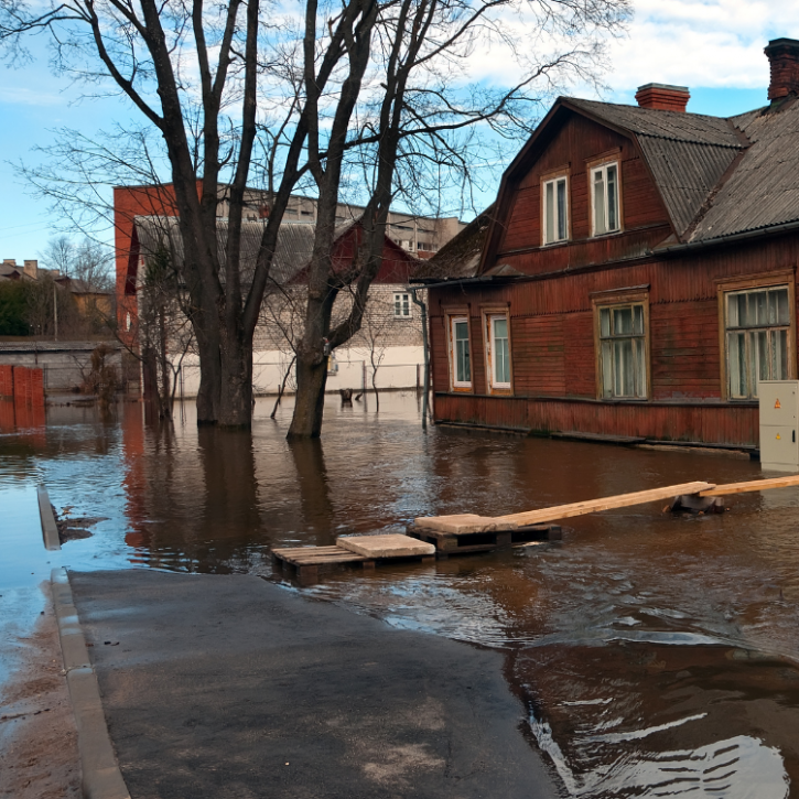
The UK is prone to experiencing severe flooding, as evidenced by some of the worst floods on record in many parts of the country in February 2020. As climate change drives warmer and wetter weather in winter, efforts to mitigate the effects of flooding are all the more imperative.
A key part of flood preparedness is forecasts that provide advance warning of the likely impacts. In England and Wales, such forecasts are provided by the Flood Forecasting Centre (FFC), a joint partnership between the Met Office and the Environment Agency. The FFC provides flood-risk guidance at county level for emergency responders, government and other national infrastructure agencies, concentrating on the next five days by combining weather forecasts with hydrological model outputs and expert knowledge.
The FFC identified a need for a tool to provide warning of potential flooding beyond the five days offered by most of their current models. The timing, location and amount of rainfall is difficult to predict beyond roughly one week, making long-range flood prediction challenging. However, long-range forecasts of surface air pressure tend to be more accurate than those of rainfall.
Our study introduces Fluvial Decider – a forecast guidance tool now being used operationally by the FFC. Fluvial Decider uses a set of 30 Met Office “weather patterns”, which were designed to represent 30 distinct patterns of surface pressure over Europe and the north Atlantic. Operationally, forecasts of surface pressure can be ‘assigned’ to the weather pattern from this set that they most closely resemble, maximising the most reliable, useful information from a forecast by reducing complex model output to a sequence of weather patterns.
Each of these weather patterns is associated with distinct rainfall variations over the UK, with some weather patterns more likely to produce heavy rainfall in different parts of the country. Therefore, knowledge of the likely upcoming weather patterns allows us to predict how different the rainfall forecast is to the normal rainfall for the time of year, and also the likelihood of flood-producing rainfall events.
Fluvial Decider therefore highlights when there is a signal in the longer-term forecast for an increased risk of flooding. Being able to share such information enables government and partners to plan ahead, managing resources and slowing other work to make space for mitigating and responding to potential flood events.