Satellite images show tornado storm system in motion
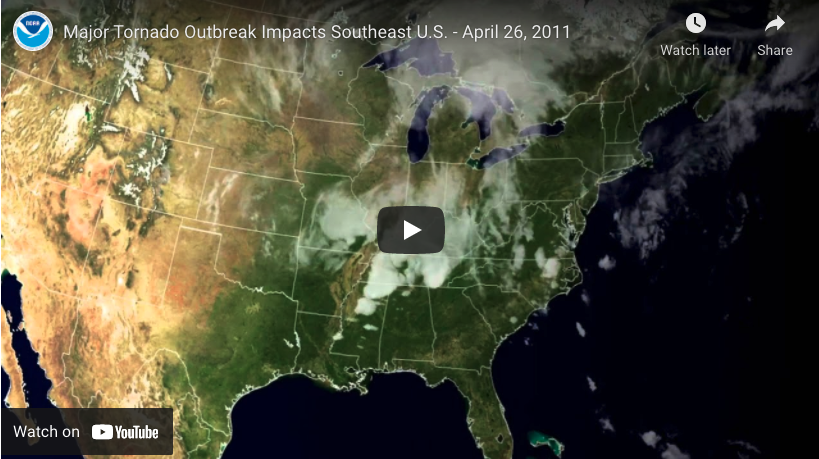
Using the rapid scan infrared imagery from the GOES-East weather satellite from April 26th-28th 2011, this clip gives an overall view of a weather system as it sweeps across the south-eastern United States spawning a series of devastating tornadoes as it went.
Categories:
Weather


")
