
Spooky weather
by Kirsty McCabe, FRMetS
Halloween can be a scary time of year when it comes to the weather. From ghost-grey fogs to howling gales, just about anything is possible. In October 2020, Storm Aiden brought strong winds and heavy rain. Back in 2014, it was positively balmy with a freakishly warm 23.6 C in Kew Gardens, but it was shockingly cold in 2008, with sleet and snow. Scary weather doesn’t just happen on Halloween, so here’s a quick round up of some of the best spooky weather phenomena.
Lenticular clouds
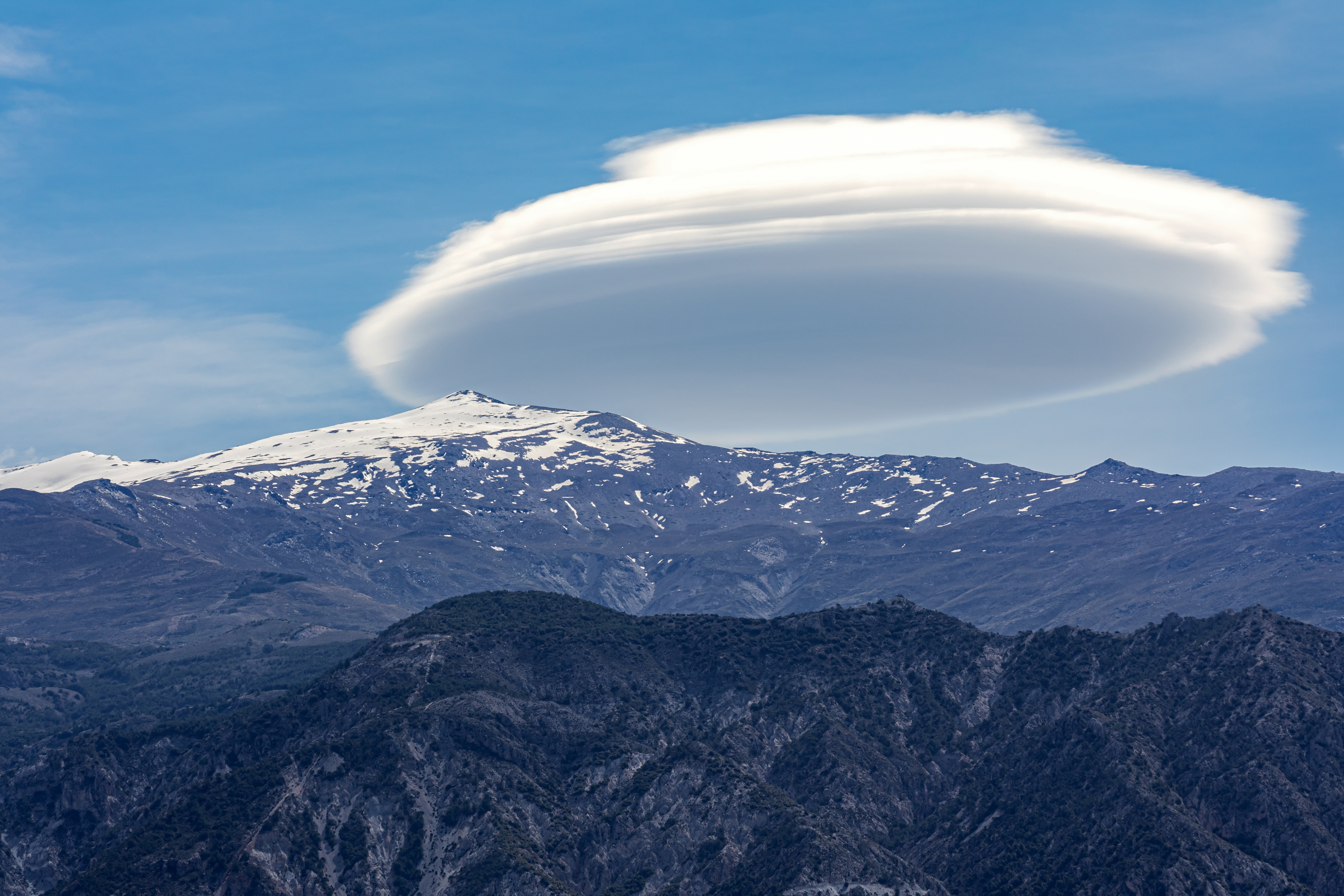
My favourite and the one most often mistaken for UFOs thanks to their distinctive lens or saucer shape. These clouds form when stable air is forced to rise over a hill or mountain. This creates waves in the air downstream, and if the air is sufficiently moist a lenticular cloud can form in the crest of a wave.
Thunderstorms
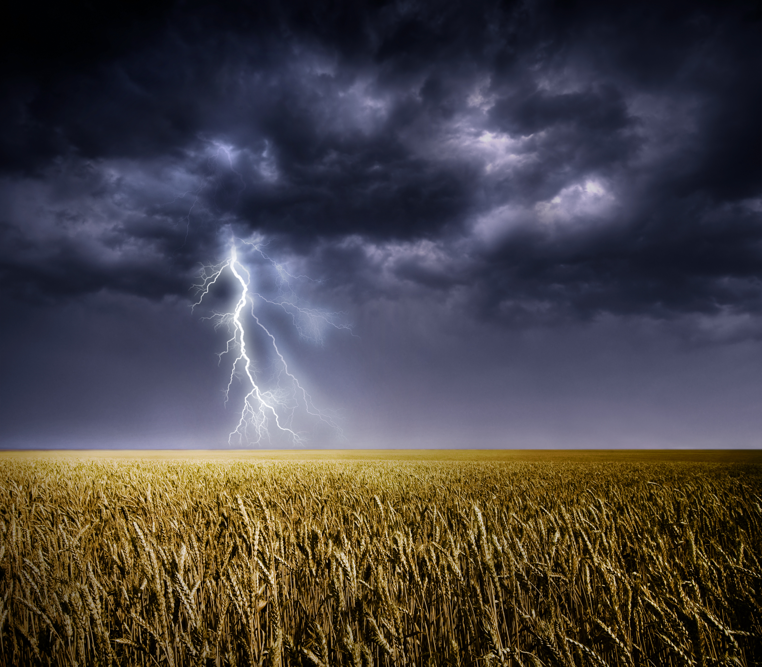
Around the world there are over 3 million flashes of lightning a day, around 44 strikes a second. But that doesn’t stop most people jumping at the crack of thunder. The flash of lightning is a large electrical spark while the rumble of thunder is caused by the noise of intense heating and expansion of air along the path of the lightning.
Brocken spectre
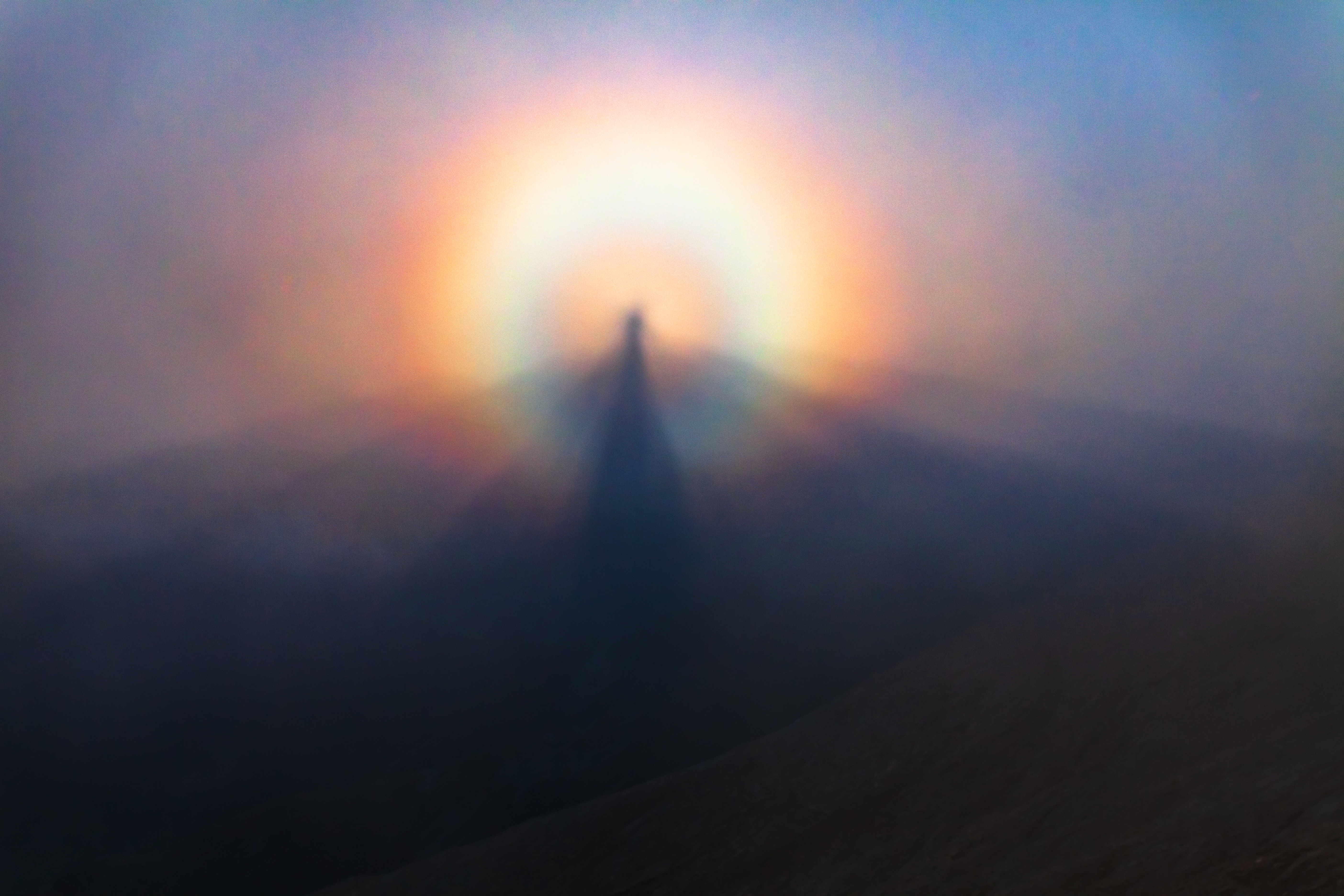
This suitably spooky optical phenomenon is named after the Brocken, the highest peak of Germany’s Harz mountain range where it is often seen. It occurs when you stand above a cloud or fog bank, with the sun behind you, and your magnified shadow is cast onto the distant fog. Often surrounding the shadow is a coloured ring referred to as a glory.
Halo around the moon
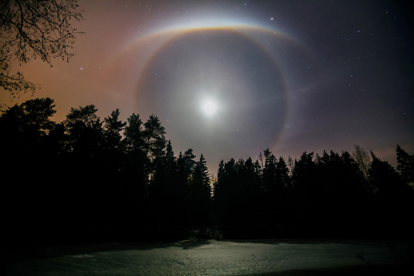
One for the werewolves. This optical phenomenon is created when the sunlight reflected by the moon passes through ice crystals in high-level cloud and is refracted to create a faint ring around the moon.
Mist rolling in off the sea
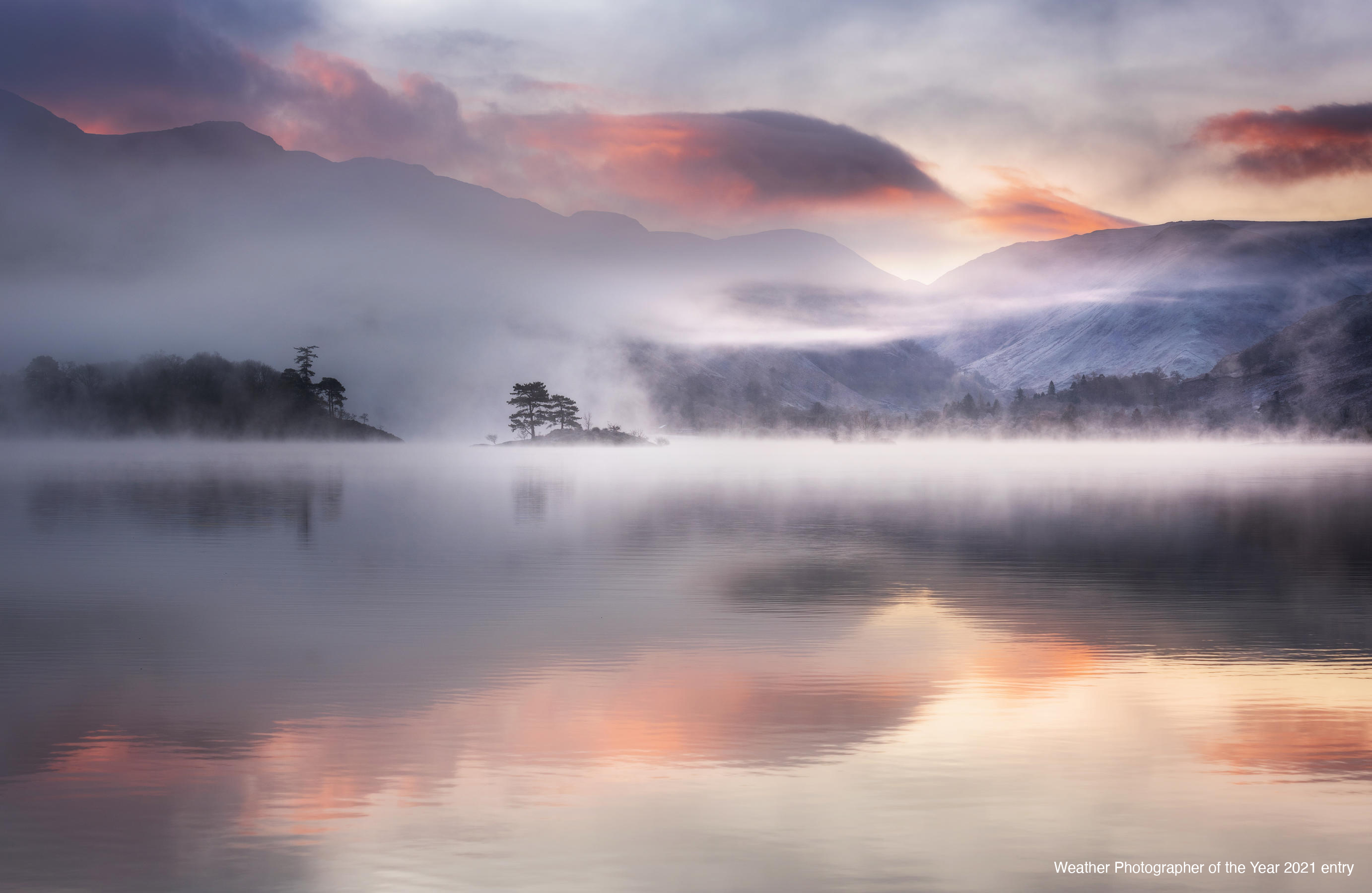
A horror film staple, sea mist occurs when mild air moves in over a cooler sea.
Blood red skies
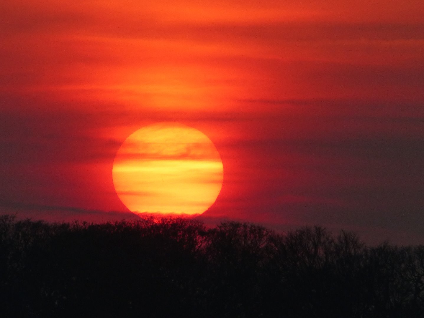
We often enjoy spectacular sunsets at this time of year as we race home ahead of the vampires. But in contrast to what you might think, dust and air pollution do not make a sunset more dramatic. Winter sunrises and sunsets appear more vibrant during the winter thanks to a combination of lower humidity, lack of air pollution and better clouds.
Blood rain
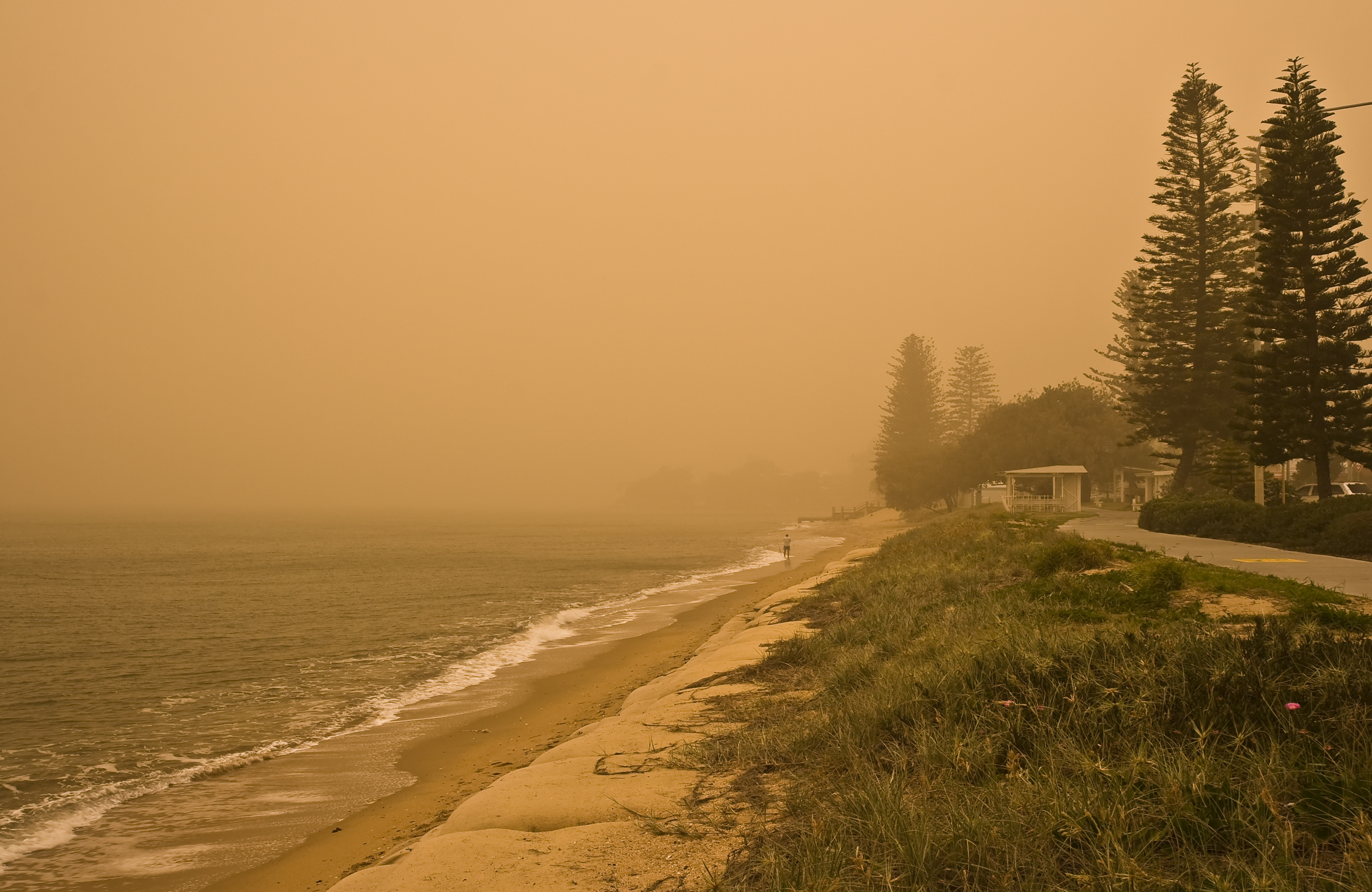
This term is used when red-coloured rain falls from the sky – but why does it happen? Strong winds or storms can whip up dust and sand particles, which can be carried thousands of miles by winds high in the atmosphere. If the dust gets caught up in rain clouds it will mix with water droplets. And if there is a high enough concentration of red dust particles the rain will appear red.
Plague of frogs
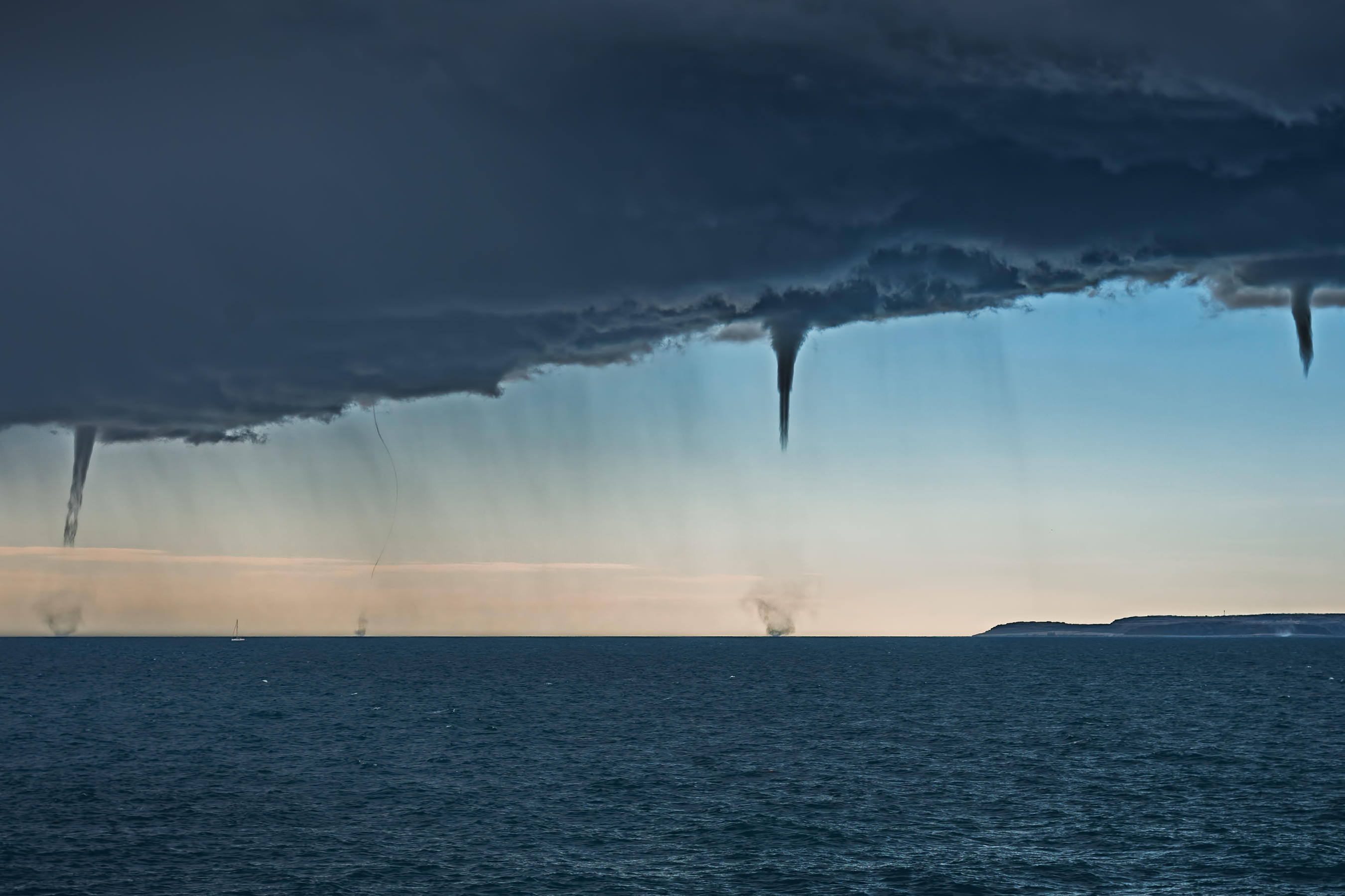
You might have seen reports of raining frogs or other objects, and the explanation here is funnel clouds. These powerful rotating columns of air extend from the base of a thunderstorm towards the ground. If a funnel cloud touches the ground it becomes a tornado, but it’s called a waterspout when that happens over water. A waterspout can suck up items, such as frogs or fish, as it moves across a body of water, before releasing whatever it has picked up a few miles or even thousands of miles away.


