
How does climate change affect heatwaves?
by Kirsty McCabe, FRMetS
A heatwave is a prolonged period of excessively hot weather which has different definitions around the world relative to the average temperature and weather for a specific location.
In Adelaide, Australia, a heatwave is defined as five consecutive days at or above 35°C or three consecutive days at or above 40°C. In comparison, Denmark defines a heatwave as a period of three consecutive days where the average temperature across 50% of the country exceeds 28°C.
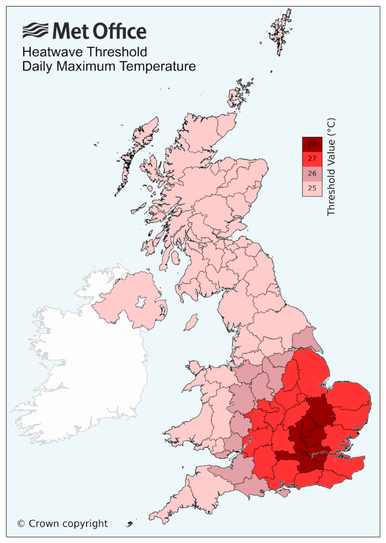
In the UK, the Met Office has defined a heatwave temperature threshold for each county – if the daily maximum temperature meets or exceeds this value for at least three consecutive days, it is classed as a heatwave. The figure below shows the threshold values for each county, ranging from 25°C to 28°C.
The scorching summer heat, record-breaking temperatures and devasting wildfires that affect places like North America and southern Europe are often caused by “heat domes”, formed when an area of high pressure stays over the same place for days or even weeks, trapping very warm air underneath - rather like a lid on a pot.
The problem with a stubborn area of high pressure is that already warm or hot air trapped under the high will become hotter and hotter, creating a heat dome. Hot air will rise into the atmosphere, but high pressure acts as a lid and causes the air to subside or sink. Sinking air has a big warming effect with the temperature rising by 1°C for every 100 metres the air falls.
As the air sinks, it warms by compression, and the heat builds. The ground also warms, losing moisture and making it easier to heat even more.
Until the pressure pattern changes, the persistent high-pressure blocking weather system will continue to exacerbate the hot conditions, bringing a risk of wildfires, drought and heat-health issues.
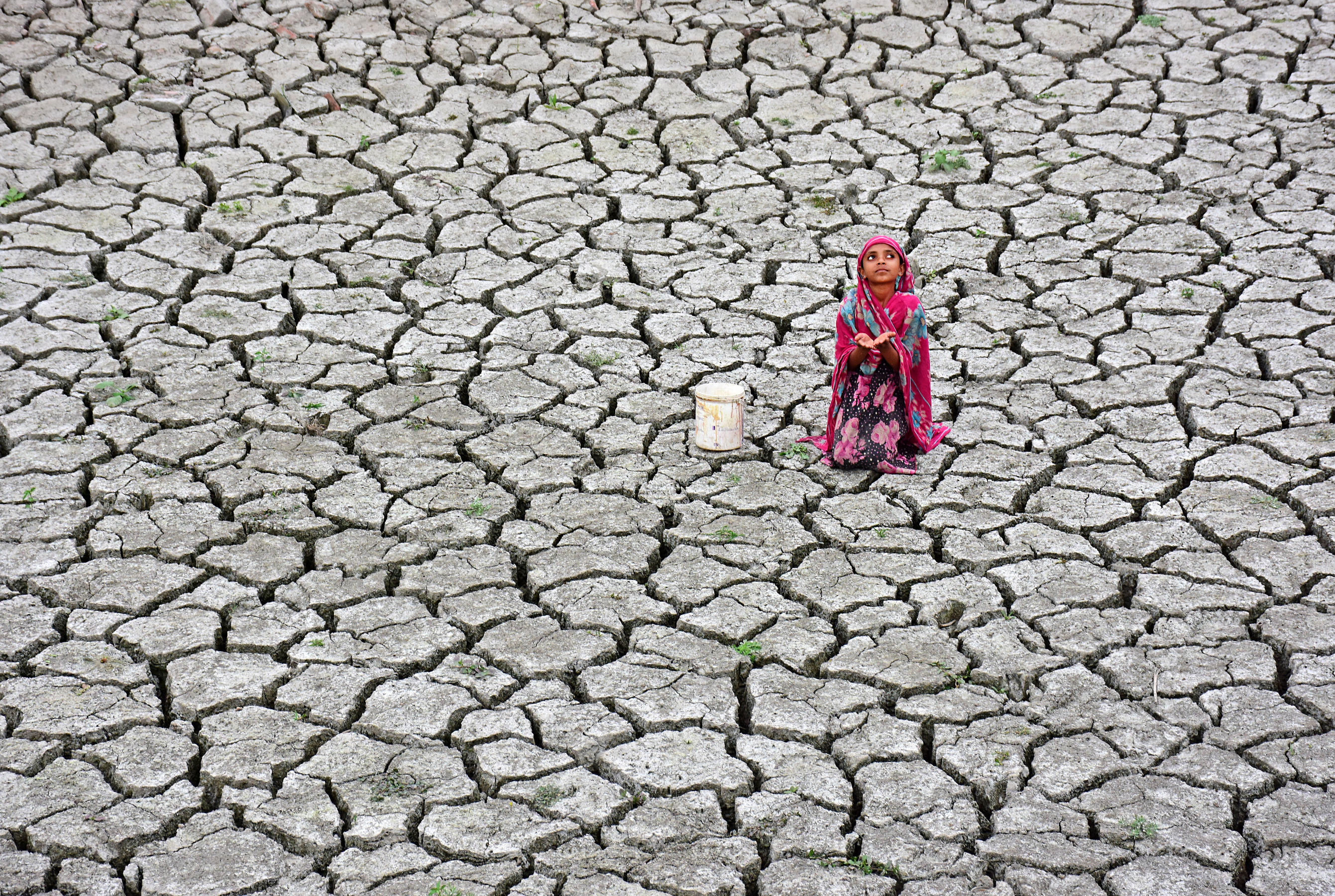
How does climate change affect heatwaves?
A warming climate increases the chances of very hot days and nights, increasing the chance of countries meeting or exceeding their heatwave thresholds.
There is some research that suggest the jet stream – the fast-moving ribbon of air high in our atmosphere that steers weather systems around on the ground – is weakening due to a reduction in the temperature contrast between the equator and the pole. This is because the Arctic has warmed at roughly twice the rate as the entire globe – scientists refer to this as ‘Arctic amplification’. A weaker jet stream will buckle and meander, allowing blocking patterns of high pressure to dominate.
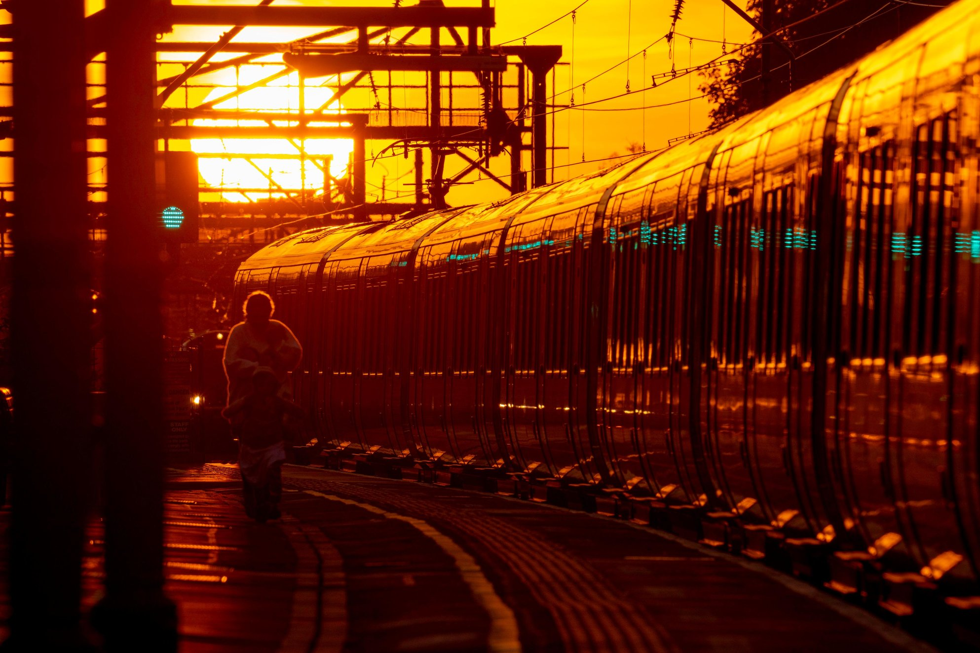
An increase in blocked weather patterns means that heatwaves will occur more often, last longer and be more intense. In turn, that will worsen drought conditions and extend wildfire seasons.
Standard Chartered Weather Photographer of the Year shortlist
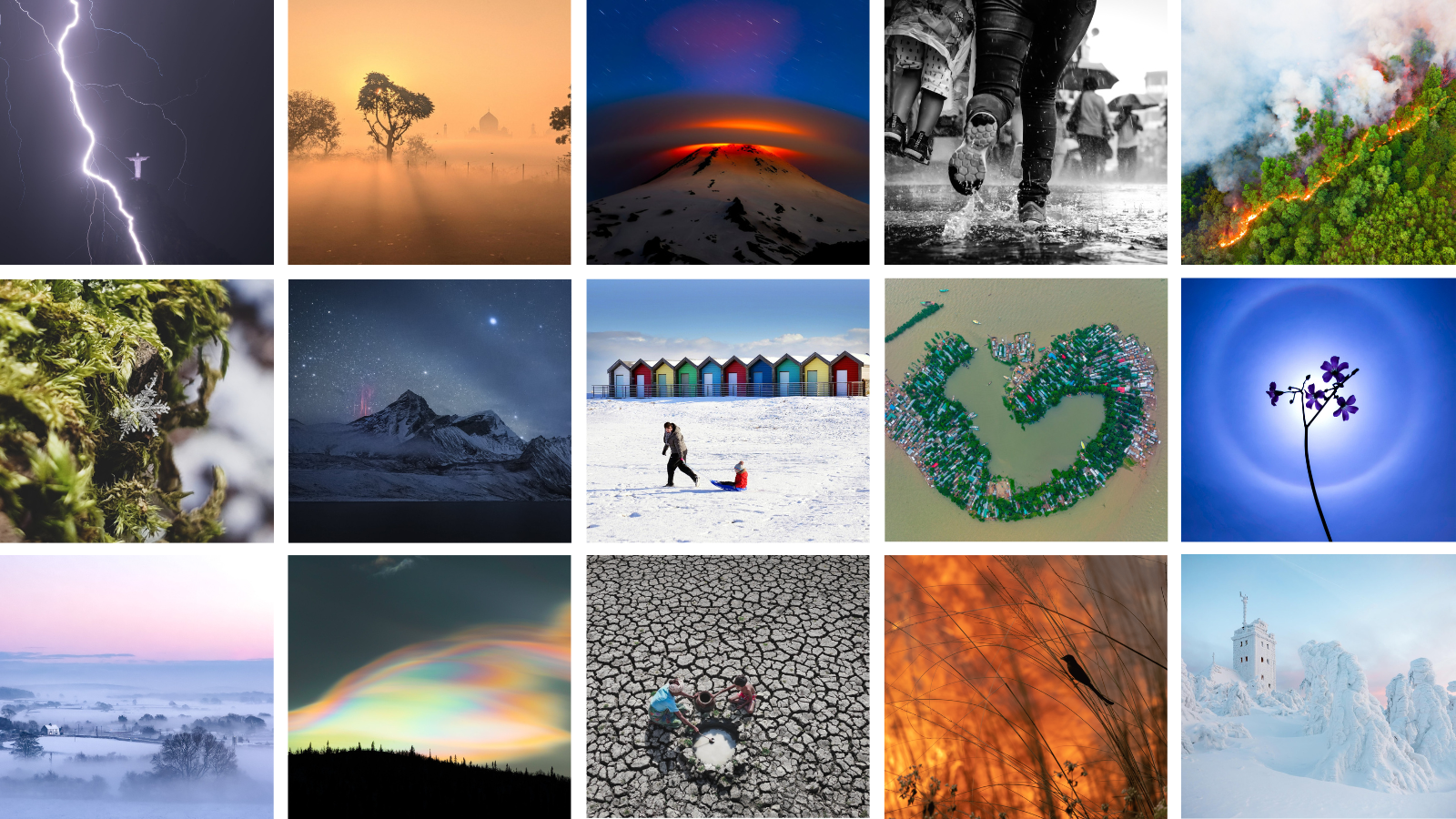
The public vote for the 2023 Standard Chartered Weather Photographer of the Year competition is now open! Now in its eighth year, the competition is a window to the vastly different climates experienced across the world and provides an international platform to highlight global weather events.
The 2023 competition showcases some of the world’s most striking weather phenomena, alongside images that narrate compelling stories about the impacts of climate change. Highlights include rare red sprite lightning, dramatic tornadoes and cloud formations, ice-covered landscapes, flood-filled streets, dry riverbeds and deadly forest fires. The shortlisted images, from photographers across 94 countries, emphasise the beauty and fragility of our weather and the urgency to limit further global warming while adapting to the changes we are already experiencing.
The Society now invites you to vote for your favourite photograph from a shortlist of the competition's finest entries. The winners of the 2023 Standard Chartered Weather Photographer of the Year competition will be announced on Thursday 5 October, after the public vote closes on 24 September.

