
Rain, sleet or snow?
by Kirsty McCabe, FRMetS
You’ve probably heard weather presenters talk about a “wintry mix of rain, sleet or snow”. But why is it so hard to forecast which one we’ll get? The problem is that just a few degrees difference in air temperature can determine whether you’ll be throwing snowballs, splashing in puddles or skidding on dangerous black ice.
Let’s take a closer look. Imagine there is a cloud with snow falling from it into air that is below freezing. However, a wedge of warmer air is pushing into this colder air.
![]() To reach the ground as snow, the snowflakes must remain frozen all the way from the cloud to the ground. Surprisingly the air temperature doesn't need to be below zero for snow to fall, below 2°C is cold enough. In fact, the heaviest snowfalls tend to occur between 0 and 2°C. The slightly warmer air causes the snowflakes to melt around the edges and stick together to become big, heavy flakes. This 'wet' snow is great for making snowmen (and snow ladies).
To reach the ground as snow, the snowflakes must remain frozen all the way from the cloud to the ground. Surprisingly the air temperature doesn't need to be below zero for snow to fall, below 2°C is cold enough. In fact, the heaviest snowfalls tend to occur between 0 and 2°C. The slightly warmer air causes the snowflakes to melt around the edges and stick together to become big, heavy flakes. This 'wet' snow is great for making snowmen (and snow ladies).
![]() If the snowflakes pass through a small slice of the warmer air some will melt to rain, but others will remain as snow. In the UK, we refer to this mix of rain and snow as sleet. But other countries, such as the United States, use the term sleet to mean ice pellets. These form when snowflakes melt into rain and refreeze as they fall through colder air, resulting in small translucent balls of ice, smaller than hailstones.
If the snowflakes pass through a small slice of the warmer air some will melt to rain, but others will remain as snow. In the UK, we refer to this mix of rain and snow as sleet. But other countries, such as the United States, use the term sleet to mean ice pellets. These form when snowflakes melt into rain and refreeze as they fall through colder air, resulting in small translucent balls of ice, smaller than hailstones.
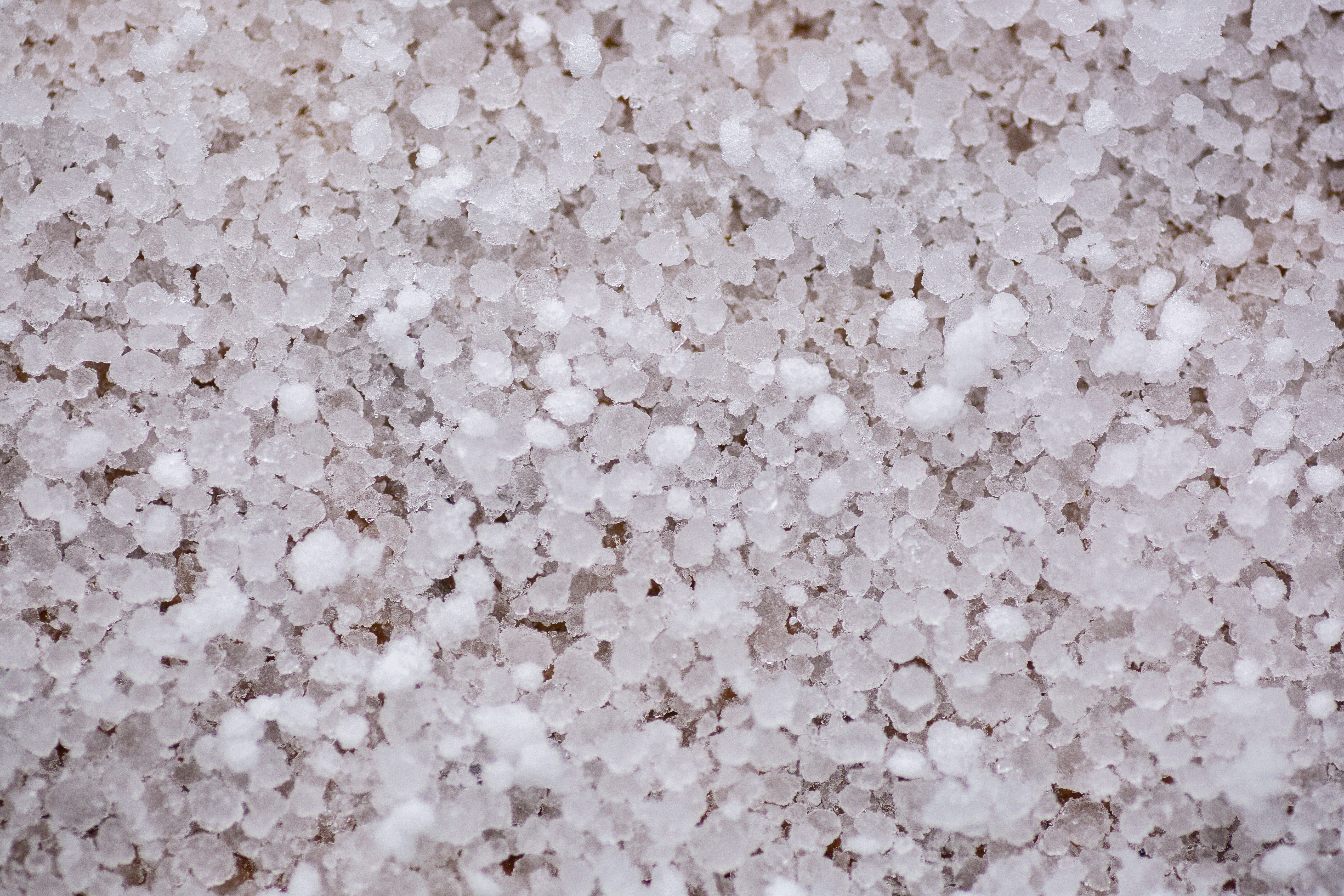
If you’ve ever noticed hail in winter that looks like tiny polystyrene balls then actually you’ve seen graupel, or snow pellets. Graupel is partially melted and refrozen snowflakes, where supercooled water droplets have added an opaque layer of ice or rime.
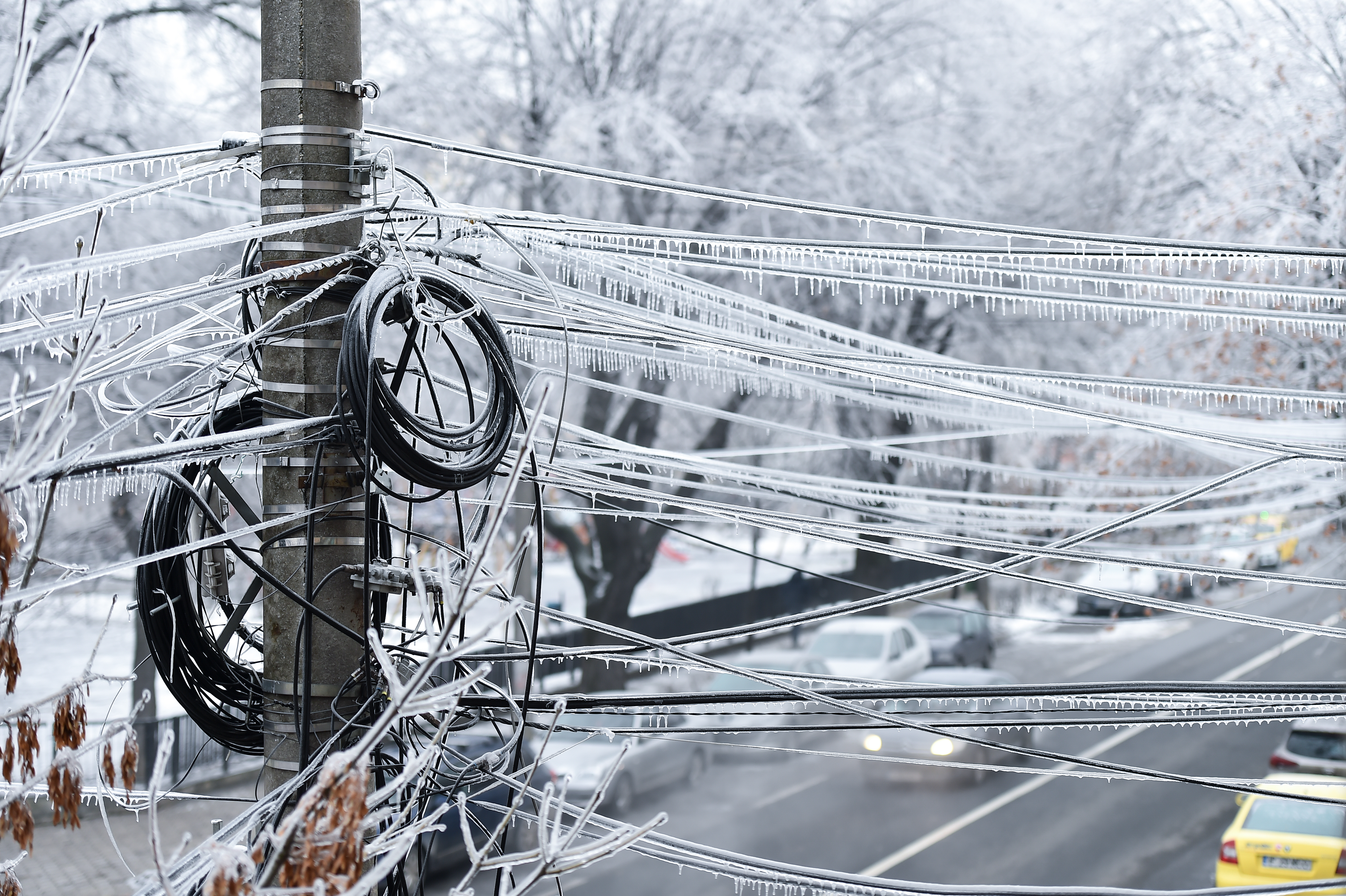
Now if the snowflakes fall through a larger slice of warmer air, they will all melt to become rain. But instead of freezing as the rain falls through the sub-zero layer of air below, the raindrops can become supercooled. This is extremely dangerous as the supercooled water droplets will freeze on impact when they hit any frozen surface - forming a layer of clear ice or glaze - this freezing rain is the cause of treacherous black ice on roads. In the United States, a winter storm that brings freezing rain is known as an ice storm.
![]() Of course, if all the air below the cloud is warmer, then all the snowflakes will melt into raindrops, and they will fall all the way to the ground as good old rain.
Of course, if all the air below the cloud is warmer, then all the snowflakes will melt into raindrops, and they will fall all the way to the ground as good old rain.
Precipitation fact file
- Rainfall: Rain is the liquid form of precipitation – it may have started life as an ice crystal, or a liquid droplet. Raindrops can be up to 6 mm in diameter, but anything less than 0.5 mm in diameter is classed as drizzle.
- Snow: Snow is formed by tiny ice crystals that stick together to become a snowflake. Once heavy enough, and if it doesn’t melt below the cloud, it falls to the ground as snow.
- Sleet: In the UK, sleet mainly refers to a mixture of snow and rain or snow that partially melts as it falls below the cloud. However, in some countries it refers to ice pellets.
- Ice Pellets: Small translucent balls of ice, smaller than hailstones. They form as snowflakes melt into rain and then re-freeze as they fall through colder air. This results in a grainy snow pellet encased in ice.
- Freezing rain: Freezing rain is rain that falls onto a surface with a temperature below freezing. This causes it to freeze on impact with the frozen surfaces, such as trees, cars, and roads, forming a clear coating or glaze of ice.
- Hail: Hailstones are pieces of ice that form in vigorous convective clouds. During winter, hail mainly affects western parts of Britain as incoming showers off the relatively warm Atlantic ocean tend to die out once they move across the colder land.
- Graupel: Graupel is soft snow or soft hail that looks like tiny polystyrene balls. These snow pellets are partially melted and refrozen snowflakes, where supercooled water droplets have added an opaque layer of ice or rime.
- Diamond dust: Tiny ice crystals falling from an apparently cloudless sky (often at night). It usually happens when a temperature inversion is present above the ground – so instead of temperature dropping with height the air aloft is actually warmer than the air at the ground. Warmer air can hold more water vapour so when it mixes with the colder air at the surface it transfers this extra moisture which freezes into ice crystals if the temperature is low enough. If it's not cold enough you would get plain old fog.


 and James Marr (R), with Shackleton, London 17 August 1921")
