MASTERCLASS | The Role of the Jet Stream in Weather, Predictability, and Climate
LOCATION
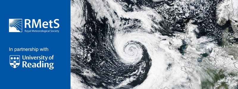
The North Atlantic jet stream is a major feature of the global atmospheric circulation and plays a key role in the development of weather systems hitting Europe. Typically, the jet stream is strongest at about 10 km altitude but is very variable in strength, latitude and shape. When the jet is oriented straight across the Atlantic (from west to east) it can be exceptionally strong, sometimes exceeding 200 mph. However, often it is wavy, meandering in latitude by thousands of km and it may even split into two distinct jet structures at different latitudes.
Rossby waves propagating on the jet stream are a crucial part of the growth of the succession of cyclones and anticyclones that dominate our weather, interacting with waves and fronts in surface temperature. In turn, the location of the jet stream and the tracks of cyclones make European climate highly variable and can result in weather extremes. In this talk I explained why jet stream can be so strong and variable and how it relates to variability in the North Atlantic storm track. Cloud processes, radiation and the resultant diabatic heating are major influences on the dynamics of these weather systems and it has recently been shown that predictability is lower when diabatic processes perturb the jet stream. I discussed recent results from research aircraft experiments investigating these cloud processes, linking them to changes in cyclones, the outflow of air at jet stream level and consequences for weather in Europe.
Speaker
Professor John Methven, University of Reading
John Methven’s research utilises new observations and models to develop and test theories of atmospheric dynamics. He led the UK component of the North Atlantic Waveguide and Downstream Impacts Experiment, NAWDEX (in 2016) and this summer led the Arctic Summertime Cyclones field campaign, based in the Norwegian Arctic investigating the interaction between cyclones and sea ice. In tropical meteorology, he is involved in several projects on the fundamental influences of large-scale wave dynamics on tropical weather systems and high impact weather.
Professor Methven is co-chief editor of the Quarterly Journal of the Royal Meteorological Society. He is co-chair of the World Meteorological Organization’s working group on Predictability Dynamics and Ensemble Forecasting (PDEF). At the University of Reading he was Director of the SCENARIO NERC Doctoral Training Partnership in Meteorology until 2019 (funding and supporting 150 PhD studentships over 10 years). Recently, he has become the Meteorology Department Director for International Partnerships.
Registration
REGISTRATION IS NOW CLOSED
If you have any queries with regards to this event or require any further information please contact us at meetings@rmets.org
Masterclass Series Abstract
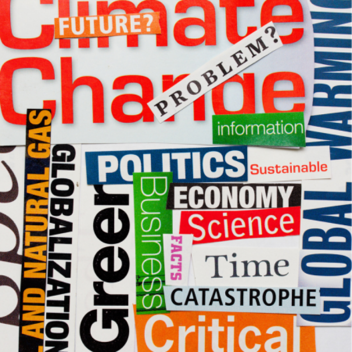
Continuing our online Meteorological Masterclasses in partnership with the University of Reading, we are pleased to announce a new Masterclass series in Winter Storms & Euro Atlantic Climate
During this series, three leading experts from the University of Reading will discuss the latest scientific advances for understanding and predicting weather, climate, and its impacts. Topics to be covered include North Atlantic and European cyclones – evolution, processes and predictability, the role of the jet stream in weather, predictability and climate and European climate variability and uncertainty in climate model projections.
These masterclasses are intended to provide support for professionals working in Meteorology and Climate Science, and its operational applications who wish to remain up to date on recent scientific developments in the field.
Masterclasses will run weekly on Wednesday 26th October, 2nd November and 9th November from 3.00 pm to 4.30 pm (UTC), consisting of a presentation followed by the opportunity for questions and discussion with the speaker. Whilst the webinars are part of a series, attendance at all three events is not compulsory.
Sessions will be available as videos for any member who has registered but cannot attend registered with an option to email questions up to one week after the date of them going live.
The North Atlantic jet stream is a major feature of the global atmospheric circulation and plays a key role in the development of weather systems hitting Europe. Typically, the jet stream is strongest at about 10 km altitude but is very variable in strength, latitude and shape. When the jet is oriented straight across the Atlantic (from west to east) it can be exceptionally strong, sometimes exceeding 200 mph. However, often it is wavy, meandering in latitude by thousands of km and it may even split into two distinct jet structures at different latitudes.
Rossby waves propagating on the jet stream are a crucial part of the growth of the succession of cyclones and anticyclones that dominate our weather, interacting with waves and fronts in surface temperature. In turn, the location of the jet stream and the tracks of cyclones make European climate highly variable and can result in weather extremes. In this talk I explained why jet stream can be so strong and variable and how it relates to variability in the North Atlantic storm track. Cloud processes, radiation and the resultant diabatic heating are major influences on the dynamics of these weather systems and it has recently been shown that predictability is lower when diabatic processes perturb the jet stream. I discussed recent results from research aircraft experiments investigating these cloud processes, linking them to changes in cyclones, the outflow of air at jet stream level and consequences for weather in Europe.
Speaker
Professor John Methven, University of Reading
John Methven’s research utilises new observations and models to develop and test theories of atmospheric dynamics. He led the UK component of the North Atlantic Waveguide and Downstream Impacts Experiment, NAWDEX (in 2016) and this summer led the Arctic Summertime Cyclones field campaign, based in the Norwegian Arctic investigating the interaction between cyclones and sea ice. In tropical meteorology, he is involved in several projects on the fundamental influences of large-scale wave dynamics on tropical weather systems and high impact weather.
Professor Methven is co-chief editor of the Quarterly Journal of the Royal Meteorological Society. He is co-chair of the World Meteorological Organization’s working group on Predictability Dynamics and Ensemble Forecasting (PDEF). At the University of Reading he was Director of the SCENARIO NERC Doctoral Training Partnership in Meteorology until 2019 (funding and supporting 150 PhD studentships over 10 years). Recently, he has become the Meteorology Department Director for International Partnerships.
Registration
REGISTRATION IS NOW CLOSED
If you have any queries with regards to this event or require any further information please contact us at meetings@rmets.org
Masterclass Series Abstract
Continuing our online Meteorological Masterclasses in partnership with the University of Reading, we are pleased to announce a new Masterclass series in Winter Storms & Euro Atlantic Climate
During this series, three leading experts from the University of Reading will discuss the latest scientific advances for understanding and predicting weather, climate, and its impacts. Topics to be covered include North Atlantic and European cyclones – evolution, processes and predictability, the role of the jet stream in weather, predictability and climate and European climate variability and uncertainty in climate model projections.
These masterclasses are intended to provide support for professionals working in Meteorology and Climate Science, and its operational applications who wish to remain up to date on recent scientific developments in the field.
Masterclasses will run weekly on Wednesday 26th October, 2nd November and 9th November from 3.00 pm to 4.30 pm (UTC), consisting of a presentation followed by the opportunity for questions and discussion with the speaker. Whilst the webinars are part of a series, attendance at all three events is not compulsory.
Sessions will be available as videos for any member who has registered but cannot attend registered with an option to email questions up to one week after the date of them going live.