
A Change in the Weather?
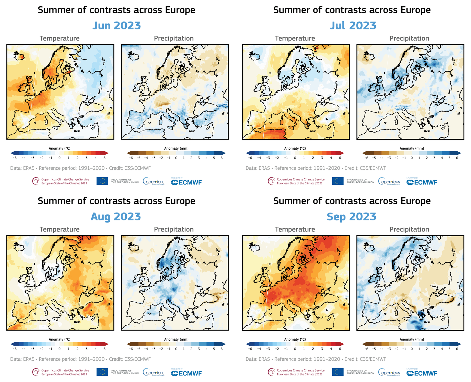
The last few months have been strangely mild across the UK. However, temperatures in December and January were well above average, and people have been asking, “what happened to winter?”. Elsewhere in Europe, the mild weather is even more pronounced, with temperatures in Finland about 10°C higher than usual and new high-temperature records being set in St. Petersburg and Norway, respectively.
One of the most effective ways of measuring how the UK’s temperatures are deviating from average is by looking at the Central England Temperature (CET). These daily and monthly temperatures represent a roughly triangular area stretching from Lancashire to London and Bristol. The CET is the longest instrumental record of temperature in the world, dating back to 1659.
December’s temperature of 5.8°C was 1.1°C above average, and, to date in January, we are currently sitting at 6.4°C, a whopping 2.6°C above average. So the question now is, will it stay mild, or will winter suddenly appear after we’ve all been lulled into a false sense of security?
The current mild spell is due at least in part to the weather over the far north of the globe. You may remember the terrifying headlines from January 2019, screaming that the Polar Vortex would bring deadly weather to North America. The Polar Vortex is, of course, not scary at all. It’s simply a naturally occurring low-pressure system which spins counter-clockwise above the Arctic.
The polar vortex develops due to the lack of sunlight in winter in the Arctic, leading to extremely low temperatures in the stratosphere. The temperature difference between the Arctic and the lower latitudes drives a strong jet stream. If the jet stream is strong, the polar vortex is stable, and the extremely cold air is confined to the Arctic.
The peak strength of the polar vortex is usually in late December and early January. After that, the sun begins to track northwards, and the upper atmosphere begins to warm. As a result, the temperature difference between the Arctic and mid-latitude regions decreases and the polar vortex loses its intensity.
According to Dr Judah Cohen from Atmospheric and Environmental Research (AER), the last time that the polar cap geopotential height anomalies were warm in the mid-stratosphere was mid-August. Geopotential height approximates the actual height of a pressure surface above mean sea level. As heights are lower in cold air masses and higher in warm air masses, the temperature above the Pole has been average or colder than average since August. This, in turn, has given us an average or strong polar vortex, which has persisted for months, and it is this which has contributed to an overall mild winter so far across many parts of the Northern Hemisphere mid-latitude, not only in the UK.
There are now signs that the polar vortex may become disrupted. The current low pressure across the northern North Atlantic and northwest Europe, together with high pressure across the North Pacific, has helped to maintain a strong, stable polar vortex. However, an area of high pressure now looks likely to build across the North Atlantic and northwest Europe, making the polar vortex look far more vulnerable.
The GFS and the ECMWF forecasts indicate that by the end of the first week of February, there’s a chance that the upper-level ridge over the North Atlantic could be strong enough to trigger an Arctic cold outbreak on its eastern side. This would bring temperatures tumbling and heavy snow to central Europe.
This forecast is still a week away, so it is highly possible that it could change. However, it’s the first real indication for several weeks that a true cold spell could be on its way to Europe and could be a sign that winter weather is finally on its way.
This article was contributed to theWeather Club by our guest author, Steff Gaulter.


