Weather How to interpret a weather chart 23 August 2021 Ever looked at a synoptic or pressure chart and felt a bit lost? They can seem a bit daunting at first, what with all the different coloured lines, semicircles and triangles; but they are actually quite simple to interpret. And once you’ve got the hang of them, you’ll be able to tell at a glance what our weather is up to. In the Spotlight Aviation Forecasting - a Forecaster's Perspective 22 March 2021 Bear in mind: what goes up, must come down! Research Summaries Understanding mechanisms for trends in Sahelian squall lines: Roles of thermodynamics and shear 05 February 2021 Summary of the research article published in the Quarterly Journal of the Royal Meteorological Society Weather I tried to catch the fog... but I "mist"! 07 October 2020 What are the differences between fog and mist? Weather Winds of Change 09 September 2020 In many areas of the world, regional conditions give rise to winds that have been identified by the locals as having a special effect or occurring during a particular season. Quite often these winds are given a name by local inhabitants. Weather Storm Names for 2020-2021 Announced 02 September 2020 The Met Office, along with partners Met Éireann and KNMI have revealed the list of storm names for the UK, Ireland and Netherlands for the next season. Research Summaries Reducing air pollution increases the local diurnal temperature range: A case study of Lanzhou, China 24 August 2020 Summary of the research article published in the RMetS Meteorological Applications journal Research Summaries Dynamics and oceanic response of the Madeira tip‐jets 13 July 2020 Research summary published in the Quarterly Journal of the Royal Meteorological Society Research Summaries Future changes in Aridity Index at two and four degrees of global warming above preindustrial levels 13 July 2020 Summary of the research article published in the RMetS International Journal of Climatology
Weather How to interpret a weather chart 23 August 2021 Ever looked at a synoptic or pressure chart and felt a bit lost? They can seem a bit daunting at first, what with all the different coloured lines, semicircles and triangles; but they are actually quite simple to interpret. And once you’ve got the hang of them, you’ll be able to tell at a glance what our weather is up to.
In the Spotlight Aviation Forecasting - a Forecaster's Perspective 22 March 2021 Bear in mind: what goes up, must come down!
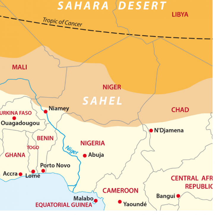
Research Summaries Understanding mechanisms for trends in Sahelian squall lines: Roles of thermodynamics and shear 05 February 2021 Summary of the research article published in the Quarterly Journal of the Royal Meteorological Society
Weather I tried to catch the fog... but I "mist"! 07 October 2020 What are the differences between fog and mist?
Weather Winds of Change 09 September 2020 In many areas of the world, regional conditions give rise to winds that have been identified by the locals as having a special effect or occurring during a particular season. Quite often these winds are given a name by local inhabitants.
Weather Storm Names for 2020-2021 Announced 02 September 2020 The Met Office, along with partners Met Éireann and KNMI have revealed the list of storm names for the UK, Ireland and Netherlands for the next season.
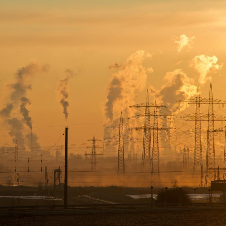
Research Summaries Reducing air pollution increases the local diurnal temperature range: A case study of Lanzhou, China 24 August 2020 Summary of the research article published in the RMetS Meteorological Applications journal
Research Summaries Dynamics and oceanic response of the Madeira tip‐jets 13 July 2020 Research summary published in the Quarterly Journal of the Royal Meteorological Society
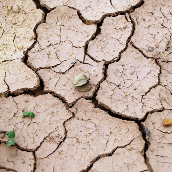
Research Summaries Future changes in Aridity Index at two and four degrees of global warming above preindustrial levels 13 July 2020 Summary of the research article published in the RMetS International Journal of Climatology